Four valleys fork at Mayrhofen and share one wall
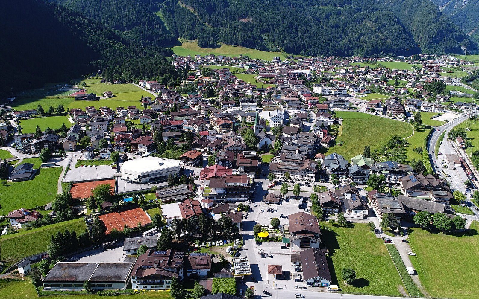
A valley-floor town under snow with lift lines climbing the wall behind itPhoto: Mayrhofen 006 · Wikimedia Commons
Mayrhofen sits at a junction, not just a town: four side valleys converge here, and the lift network above it is proportional to that fact.
Where four valleys meet
The Zillertal runs roughly north to south from the Inn valley at Jenbach down to Mayrhofen, a distance of around thirty kilometres. But Mayrhofen is not a terminus in any natural sense — it is a crossroads where the valley floor forks. To the south-west the Tuxertal leads to Hintertux and its year-round glacier. To the south the Zillergrund runs into reservoir country. To the south-east the Stilluptal pushes into a tight gorge. And to the south-west the Zemmtal opens toward the high ground of the Zillertaler Alps and the moraine-filled cirques above the Berliner Hütte.
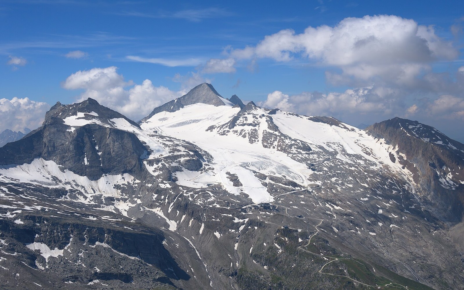
Each of those side valleys drains a distinct mountain group. The terrain above Mayrhofen is therefore not one ski area with a town underneath it but four separate glacial systems sharing a single low point. That is why the Zillertalbahn, the narrow-gauge railway that has run the length of the valley since 1900, terminates at Mayrhofen rather than pushing further: past here, the valley branches and narrows, and there is no single axis to follow.
The town itself occupies the flat, wide section of the Zillertal where the gradient eases and the river spreads. Valley floors like this — gently graded, sunny on both sides through the main part of the day, protected from the northwest by the preceding valley walls — collect settlement. Mayrhofen's growth as a resort is rooted less in any particular peak than in the geometry: everything converges here and everything branches from here.
The wall above town
From the valley floor the terrain rises steeply. The western wall above Mayrhofen is where the main piste network operates, centred on the Penken massif, which tops out above 2,000 metres and is reached by a gondola from the edge of town. The vertical difference between the valley floor and the upper lifts is roughly 1,400 metres — a significant drop for a resort where the base station is barely above 600 metres. That low valley position is a complication in mild winters but also the reason the upper mountain feels remote and high: the transition from street level to open Alpine terrain happens fast.
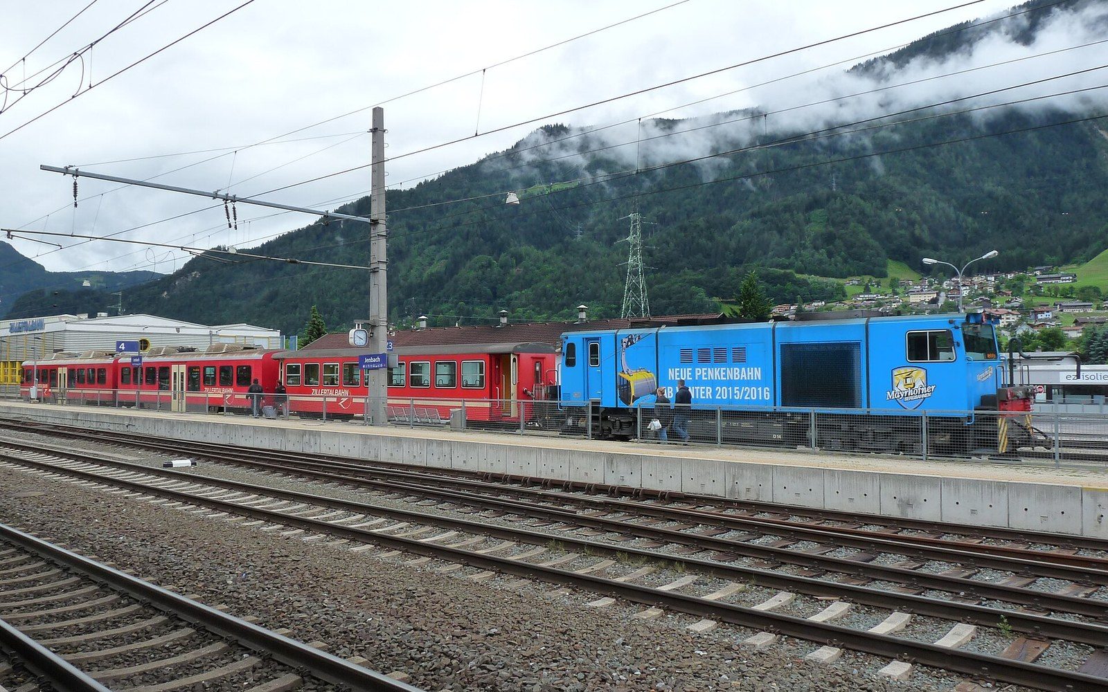
The Horberg and Rastkogel sectors extend the skiable ground to the east and south-east, connecting across ridges where the topography allows. The whole network sits atop the valley-side wall rather than inside a single bowl, which gives it a different character from a resort built around one cirque: there are multiple ridgelines, varied exposures, and the sense that the mountain belongs to the country above rather than the town below.
- St. Anton
- Eibsee
- Garmisch
- Achensee
- Mayrhofen
- Grossglockner
- Königssee
- Bad Gastein
Serious high-altitude terrain — the routes toward the Berliner Hütte in the Zemmtal, for instance, or the glaciated ground above Hintertux — is guided and roped territory managed by mountain guides and the hut network of the Österreichischer Alpenverein. The valley's position inside one of the most glacier-dense parts of the Eastern Alps means that ice is never far above the uppermost lifts, but the lift-served terrain and the mountaineering terrain are distinct categories.
Reading the junction
And to the south-west the Zemmtal opens toward the high ground of the Zillertaler Alps and the moraine-filled cirques above the Berliner Hütte
The useful thing to understand about Mayrhofen is that it functions at two scales simultaneously. At valley scale, it is the hub of the lower Zillertal — the point where the railway ends, the through road divides, and buses distribute toward four separate destinations. At mountain scale, it is the base of a lift system built against one flank of that junction, large because the flank is wide.
Visitors who arrive by rail — the Zillertalbahn connects at Jenbach with the main Innsbruck–Salzburg line — see the logic immediately: the station is central, the gondola base is a short walk, and the roads up the side valleys begin just beyond the last buildings. The Zillertal's mountain geography ↗ rewards being read as a branching system rather than a single destination, and Mayrhofen is the branch point, not the end point.