Five Arlberg villages depend on 580 metres of climb
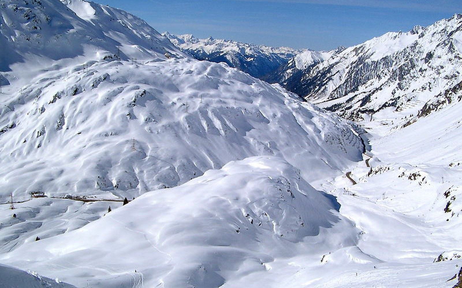
The Arlberg road at night in falling snow, a snow-clearing truck with beacons on, an operator standing in the headlightsPhoto: Arlberg passstrasse · Wikimedia Commons
The Arlberg pass road is not the shortest way through the mountains. It is the road that made the villages, and the operation that keeps it open in winter is larger than it looks.
What the road is
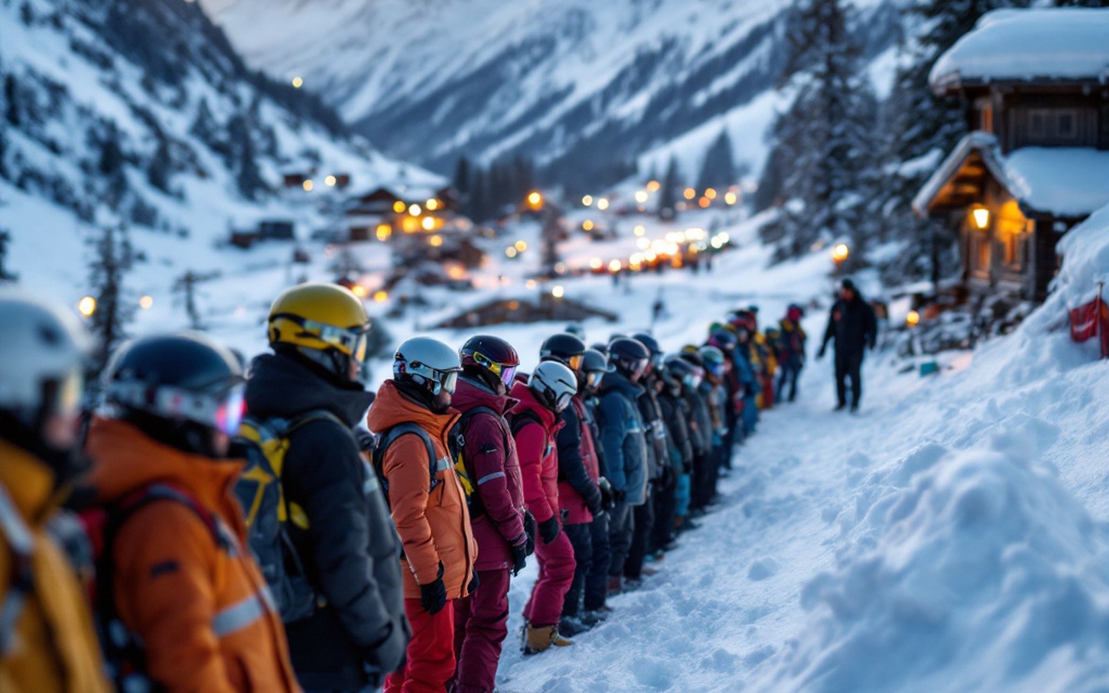
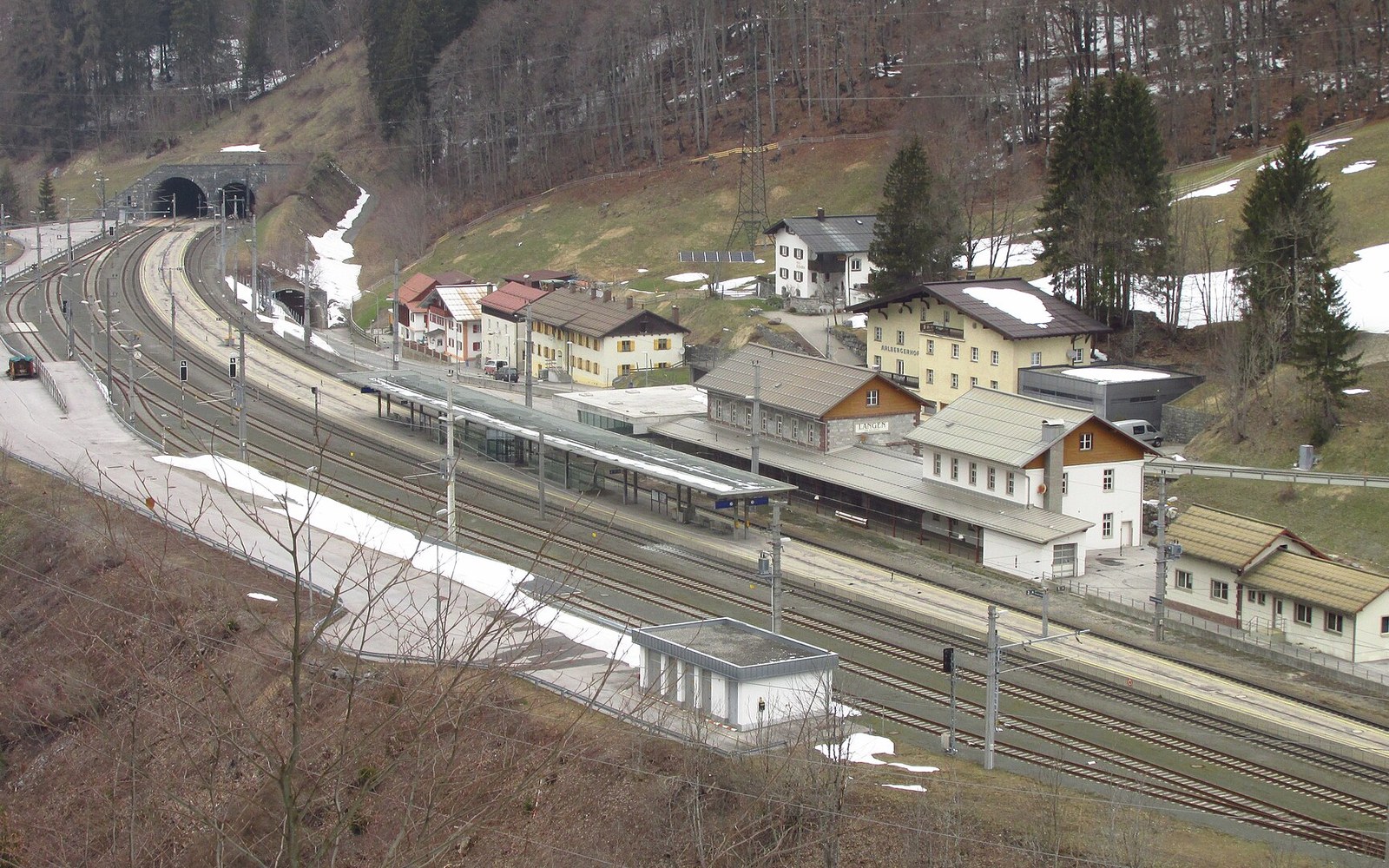
The Arlberg pass lies at 1,793 metres on the boundary between Vorarlberg and Tyrol, and the road that crosses it connects Langen am Arlberg to the west with St. Anton am Arlberg to the east by the longest and most consequential route in the range. Fourteen kilometres of carriageway, a climb of 580 metres from the Arlberg rail tunnel portal at Langen, and five distinct settlements along the way — Stuben at the bottom of the western ramp, then Zürs and Lech set into the high snowfield to the north, and St. Christoph sitting almost on the watershed itself before the road drops into St. Anton's valley floor.
The Vorarlberger Landesstraße that carries this alignment today was built on a route that had been used since at least the medieval period; the pass was an important crossing for livestock and salt long before a graded road existed. A usable carriage road was completed across the Arlberg in the late nineteenth century, and the rail tunnel that bores underneath it — opened in 1884, operated by the ÖBB and its predecessors since — made the railway the primary freight route ↗ and left the road to become what it now is: the artery of the communities above.
The Arlberg road tunnel, a separate structure opened in 1978, carries the main through-traffic of the S16 Arlberg expressway underneath the pass. The Arlberg Pass road over the top of the mountain is not a motorway bypass. It is a local mountain road, free of the toll that applies to the tunnel, and the surface that the five villages actually depend on.
Five settlements, five different relationships with the road
Stuben sits at around 1,400 metres on the western side, close enough to Langen that it can feel like an outlier, but it is a village of its own — small, with a road junction where the pass proper begins to climb. From Stuben the gradient sharpens quickly. Zürs, at roughly 1,720 metres, is the first high village on the Flexen ramp above Stuben: it sits in an open bowl that collects snow from every direction, and the road to reach it crosses terrain where avalanche paths are not occasional events but annual certainties. The galleries that roof the road on this stretch — concrete structures built into the cliff, open on one side, with the mountainside above and the drop below — are what makes the road to Zürs a permanent thing rather than a seasonal hope. The engineering of those road galleries on the Flexen is a subject of its own.
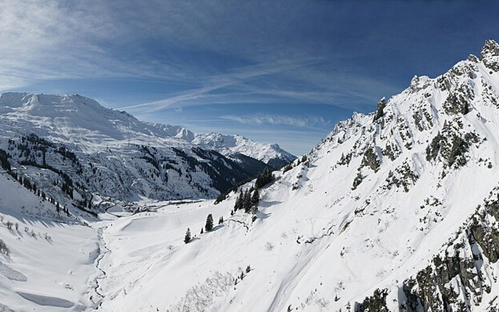
Lech sits a short distance further on from Zürs, at around 1,450 metres in a wider valley, and is connected to Zürs by a road that is itself subject to closure in heavy weather. The irony is spatial: Lech is lower than Zürs but further from the main pass line, and its access road branches off the Flexen section rather than running over the watershed. In a bad winter the Lech–Zürs road can be shut even when the main pass is passable, leaving Lech briefly isolated despite sitting only a few kilometres from the Arlberg.
St. Christoph am Arlberg at 1,800 metres is the highest permanent settlement on the road, a cluster of buildings that grew around a hospice founded in 1386 to shelter travellers crossing the pass. That hospice function — shelter at the watershed — is still readable in the settlement's shape: it is a place for people in transit, not a village turned inward. The road reaches the pass here and then descends the eastern ramp into St. Anton am Arlberg, the largest of the five and the one that functions as the road's eastern anchor. St. Anton lies at around 1,300 metres in the Inn tributary valley, and it is where the two routes — rail through the tunnel below, road over the top — converge before continuing east toward Landeck.
- St. Anton
- Eibsee
- Garmisch
- Achensee
- Mayrhofen
- Grossglockner
- Königssee
- Bad Gastein
The operation that keeps it open
It is a local mountain road, free of the toll that applies to the tunnel, and the surface that the five villages actually depend on
Closing the Arlberg pass road for winter is not an option for the communities it serves. St. Christoph has no rail stop. Zürs has none. Lech has none. The rail tunnel at Langen serves St. Anton, but the villages on the Vorarlberg side of the pass depend on the road. So the road is kept open, which is a continuous exercise in machinery, monitoring and crew deployment from November through April.
Snow clearance on the pass itself is a question of volume: at 1,793 metres, snowfall that is merely heavy in the valleys below is extreme on the watershed. Rotary ploughs — machines that cut into packed snow and throw it laterally — are the primary tools on the higher stretches, where a blade alone cannot shift what accumulates overnight. The crews that operate them work in shifts, and the road can be cleared and blocked again within hours if a storm is still running. Temporary closures during active avalanche cycles are managed by the road authorities and the avalanche warning service; the crews do not work the road during controlled blasting of slopes above it.
The galleries are the fixed infrastructure that makes the operation possible. Without them, the Flexen section would be a seasonal road at best: the avalanche paths that cross it above Stuben and Zürs are wide enough and steep enough to sweep a carriageway clean in minutes. The galleries do not stop avalanches; they channel the snow over the road and let it continue down the slope. The road inside a gallery is covered, dark on one side where the wall closes, open on the other to the valley air, and driven by maintenance vehicles at all hours during storms. A gallery section requires its own clearing regime, because drifting snow can partially block the open side and ice forms on the road surface where meltwater runs off the rock above.
The Arlberg road tunnel below, maintained by the ASFINAG road authority, handles the bulk of motorway traffic and is a separate system with its own ventilation plant, emergency infrastructure and operating authority. The pass road above it operates on a different scale, without the tunnel's mechanical complexity but with the full weight of alpine weather and the knowledge that five communities rely on it being passable by morning.
The Österreichischer Alpenverein ↗ has documented the pass routes of the Arlberg region as part of its broader work on Alpine path and road infrastructure; the history of the crossing runs several centuries deeper than the tarmac. What the tarmac represents is simply the latest material answer to a question the geography has been asking since people first tried to cross here in winter: how do you keep a mountain road open when the mountain does not want it open?
The answer is: with considerable effort, deployed by people who are there when the weather is not.