Eibsee islands are debris from one rockfall event
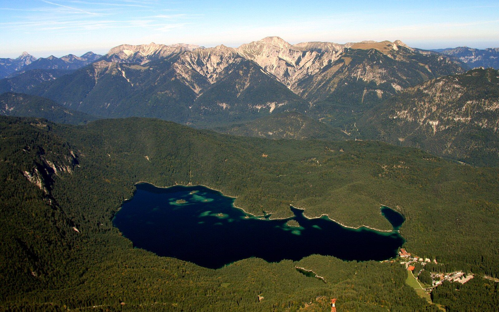
A clear lake with small wooded islands, a large rock face rising behindPhoto: Eibsee und Ammergauer Alpen · Wikimedia Commons
Rockfall made it. The debris is still there, rearranged into islands.
What you are standing in
The Eibsee sits at 973 metres on the Bavarian side of the Zugspitze, about five kilometres south-west of Garmisch-Partenkirchen. It is a handsome lake by any measure — clear, cold, ringed with forest — but what makes it structurally unusual is visible the moment you look at a map: the shoreline is not a clean ellipse but a fractured thing, interrupted by islands, peninsulas and shallow bays. That shape has a cause, and the cause is catastrophic.
At some point in the prehistoric past — geologists date large Bavarian rockfall events ↗ of this type to the postglacial period, when ice retreat left steep faces unsupported — the northern flank of the Zugspitze shed an enormous mass of limestone. The debris spread across the valley floor and dammed it. Water filled behind the dam, and the Eibsee is what has persisted: a lake occupying the depression left by that event, its shore defined by the irregular mounds and ridges of the original fallen material. The islands are not accidents of erosion; they are chunks of the collapse that sat high enough to remain above the waterline. The lake reaches a depth of around 32 metres at its deepest point.
The Zugspitze rises almost directly above the southern shore. At 2,962 metres it is Germany's highest summit, and from the lake its northern face is immediate and steep enough to register as a wall rather than a slope. The Bayerische Zugspitzbahn departs from a station just above the lake's eastern end, so the machinery of the ascent — the rack railway entering the mountain, the cable car crossing above — runs across the same view in which the rockfall debris sits quiet below the waterline.
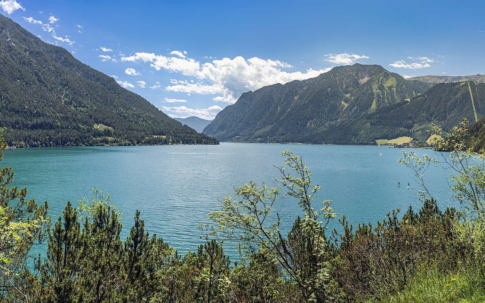
The water is notably clear. Limestone catchment and cold temperatures suppress algae, and the lack of significant agricultural land in the immediate watershed keeps the nutrient load low. The colour tends toward blue-green in the shallows, darkening quickly in the deeper basins. This differs from glacially fed Alpine lakes, where suspended rock flour scatters the light; the Eibsee's clarity is more about what is absent from the water than what is suspended in it.
- St. Anton
- Eibsee
- Garmisch
- Achensee
- Mayrhofen
- Grossglockner
- Königssee
- Bad Gastein
A path runs the full circuit of the shore — roughly eight kilometres — passing through mixed conifer forest, crossing small inlets and giving repeated angles back across the water to the face above. From several points on the western side, the Zugspitze summit, the rock debris at the waterline, and the intervening two kilometres of altitude exist in the same glance: the complete record of a collapse, still legible in the landscape it made.