Saalbach linked separate villages into one rideable loop
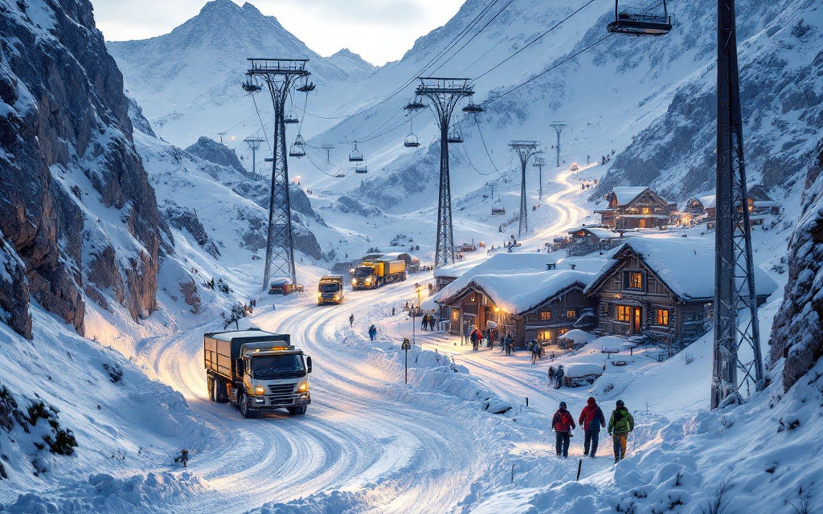
A ridge line of lift pylons above a broad snow bowl
A circuit assembled from separate resorts, one link at a time: Saalbach-Hinterglemm's ski area grew by connection rather than by plan.
How a loop gets built
Saalbach and Hinterglemm sit at opposite ends of the same valley in the Glemmtal, a side branch off the Saalach drainage in Salzburger Land. For most of the twentieth century they ran their own lift systems up opposing slopes — parallel networks on the north and south walls, never joined. The connection that eventually stitched them into a loop came not at the valley floor but at altitude, where two ridgelines approached each other closely enough to make a crossing viable.
Once those high links were in place, the circuit that local marketing has since called the Skicircus became genuinely rideable: a skier drops from Saalbach's north-facing Schattberg, crosses the ridge, works down into Hinterglemm, climbs back over the Zwölferkogel on the south side, and arrives back in Saalbach without retracing a metre of piste. The piste — a groomed, marked run on maintained terrain — that completes that loop is roughly the length of the valley itself.
The next expansion reached Leogang, a village on the far side of the Saalbach-Hinterglemm ↗ massif, via a connection first established across the Asitz ridge. That link extended the combined lift count and the piste map substantially, changing what was a local circuit into something large enough that the piste network is regularly cited among the largest in the Eastern Alps. A further connection to Fieberbrunn, already a functioning area in Tirol across the ridge to the west, added another distinct valley and crossed a state boundary in the process.
Each junction altered the map irreversibly. A lift company commissioning a new gondola to reach a ridge is also annexing a neighbour; once the infrastructure is in, the resort geographies merge whether the planning was coordinated or not. In the Glemmtal the result is a ring that can be ridden in a single day by anyone who starts early and knows where the links are — which, for a circuit assembled village by village over several decades, is a reasonably elegant outcome.